
Map
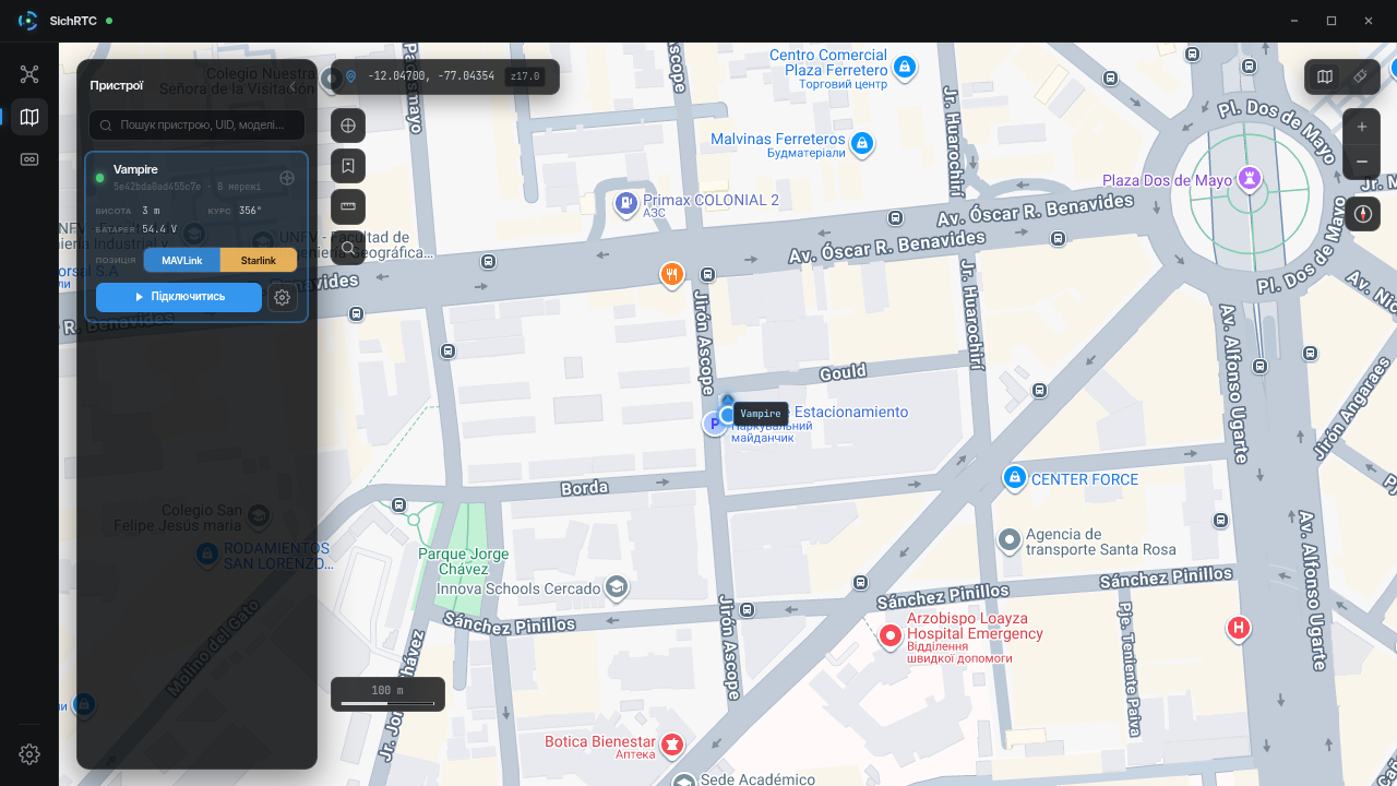
The map shows the live position of all your devices.
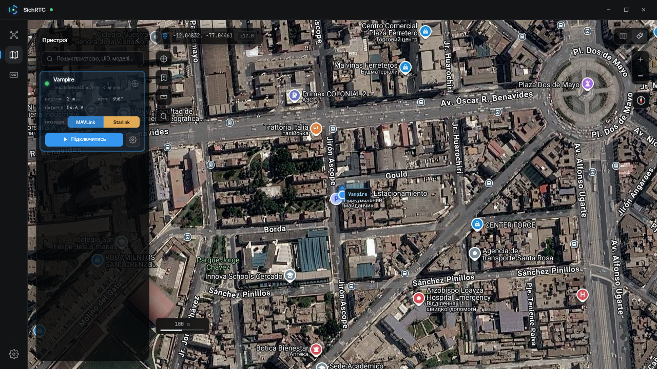
The position comes from flight controller telemetry (MAVLink) or from the Starlink dish coordinates. You choose the source yourself — the Position: MAVLink | Starlink toggle in the device card; an unavailable source is shown as inactive.
An online device is shown as a pulsing marker with its name; the ⊕ button in the card centers the map on the device.
The Devices panel on the left — search by name, UID or model; an expanded card shows altitude, battery and heading, and the Connect button opens a video session right from the map.
The map style is switched with the buttons in the top right corner — scheme or satellite imagery:

Viewed map areas are cached to disk and work offline — the cache limit is set in the application settings.